|
|
|
| FL Maps > Local > Manatee |
Click on a thumbnail image to view a full size version of that map.
|
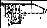
Cortez Insert,
1940 |
|
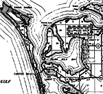
Cortez Beach,
1940 |
|
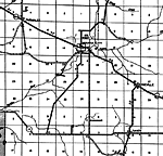
Ellenton,
1940 |
|
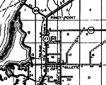
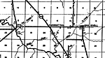
Gillette,
1940 |
|
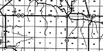
Myakka City,
1940 |
|
Myakka Head,
1940 |
|
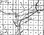
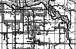
Parrish,
1940 |
|
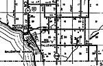
Rubonia,
1940 |
|
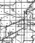
Rye,
1940 |
|
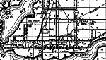
Tallevast,
1940 |
|
Waterbury,
1940 |
|
Samoset,
1940 |
|
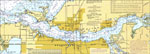
Manatee River,
1977 |
|
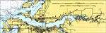
Manatee River,
1996 |
|
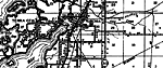
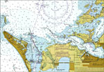
Mouth of the Manatee River,
2000 |
|
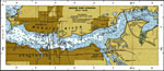
Manatee River Extension,
2000 |
| FL Maps > Local > Manatee |
Maps ETC
is a part of the
Educational Technology Clearinghouse
Produced by the
Florida Center for Instructional Technology
© 2007
College of Education
,
University of South Florida