|
|
|
| FL Maps > Local > Hillsborough |
Click on a thumbnail image to view a full size version of that map.
|
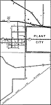
Plant City,
1936 |
|
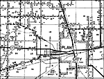
Plant City 2,
1936 |
|
Riverview,
1936 |
|
Ruskin,
1936 |
|
Ruskin 2,
1936 |
|
Seffner,
1936 |
|
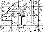
Sun City,
1936 |
|
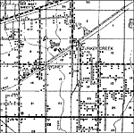
Sydney,
1936 |
|
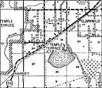
Temple Terrace,
1936 |
|
Thonotosassa,
1936 |
|
Thonotosassa 2,
1936 |
|
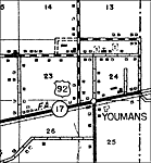
Youmans,
1936
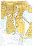
Mid South Tampa,
1936 |
|
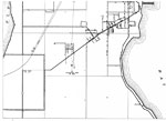
Northern South Tampa,
1936 |
|
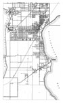
Southern South Tampa,
1936 |
|
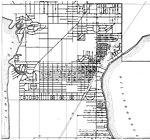
South Tampa,
1936 |
|
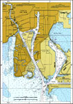
Tampa,
1977 |
|
Tampa,
2000 |
|
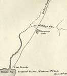
Detail Map of Major Dade Battle Ground: Fort Brooke,
December 28, 1835 |
| First | Previous |
| FL Maps > Local > Hillsborough |
Maps ETC
is a part of the
Educational Technology Clearinghouse
Produced by the
Florida Center for Instructional Technology
© 2007
College of Education
,
University of South Florida