|
|
|
| FL Maps > County > Brevard |
(Formerly St. Lucia County, 1844-1855)
Click on a thumbnail image to view a full size version of that map.
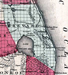
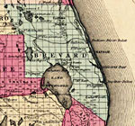
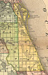
Brevard County is Florida's 25th county, established on March 14, 1844, from a segment of Mosquito County (Orange County). It was originally named St. Lucia County until the name was changed on January 6, 1855. It gains its name from Theodore Washington Brevard, State Comptroller from 1853-1861. Titusville is the county seat.
For earlier maps of this area, visit the Mosquito County (Orange County) map gallery.
|
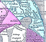
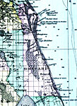
St. Lucia County,
1855 |
|
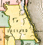
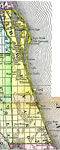
Brevard County,
1856 |
|
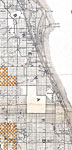
Brevard County,
1859 |
|
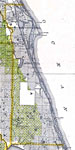
Brevard County,
1860 |
|
Brevard County,
1860 |
|
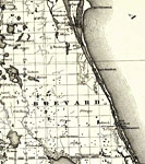
Brevard County,
1860 |
|
Brevard County,
1863 |
|
Brevard County,
1865 |
|
Brevard County,
1871 |
|
Brevard County,
1873 |
|
Brevard County,
1874 |
|
Brevard County,
1880 |
|
Brevard County,
1880 |
|
Brevard County,
1882 |
|
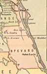
Brevard County,
1883 |
|
Brevard County,
1886 |
|
Brevard County,
1886 |
|
Brevard County,
1888 |
|
Brevard County,
1888 |
|
Brevard County,
1888 |
|
Brevard County,
1889 |
|
Brevard County,
1890 |
|
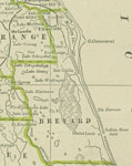
Brevard County,
1890 |
|
Brevard County,
1890 |
|
Brevard County,
1892 |
| Next | Last |
| FL Maps > County > Brevard |
Maps ETC
is a part of the
Educational Technology Clearinghouse
Produced by the
Florida Center for Instructional Technology
© 2007
College of Education
,
University of South Florida