|
|
|
| FL Maps > County > DeSoto |
Click on a thumbnail image to view a full size version of that map.
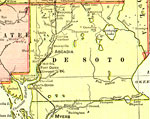
DeSoto County is Florida's 42nd county, established on May 19, 1887, from a segment of Manatee County. It is one of two counties in Florida named after Hernando de Soto. Arcadia is the county seat.
For earlier maps of this area, visit the Manatee County map gallery.
|
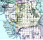
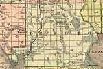
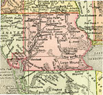
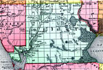
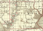
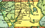
Desoto County,
1886 |
|
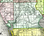
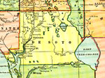
Desoto County,
1888 |
|
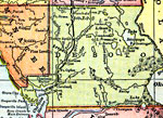
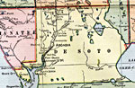
DeSoto County,
1888 |
|
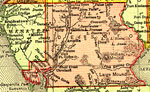
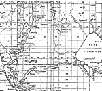
DeSoto County,
1888 |
|
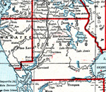
DeSoto County,
1889 |
|
De Soto County,
1890 |
|
Desoto County,
1890 |
|
DeSoto County,
1890 |
|
DeSoto County,
1892 |
|
DeSoto County,
1893 |
|
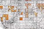
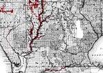
Map of the Phosphate Fields of Florida - Desoto,
1893 |
|
Desoto County,
1894 |
|
Desoto County,
1895 |
|
Desoto County,
1897 |
|
Desoto County,
1898 |
|
Desoto County,
1898 |
|
Desoto County,
1898 |
|
Desoto County,
1899 |
|
Desoto County,
1900 |
|
Desoto County,
1900 |
|
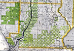
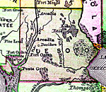
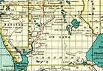
Florida Railroads - DeSoto County,
1900 |
|
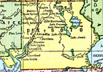
Desoto County,
1902 |
|
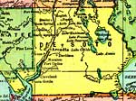
DeSoto County,
1902 |
|
Desoto County,
1902 |
|
Desoto County,
1904 |
| Next | Last |
| FL Maps > County > DeSoto |
Maps ETC
is a part of the
Educational Technology Clearinghouse
Produced by the
Florida Center for Instructional Technology
© 2007
College of Education
,
University of South Florida