|
|
|
| FL Maps > County > Gadsden |
Click on a thumbnail image to view a full size version of that map.
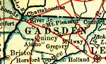
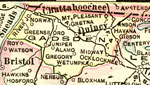
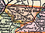
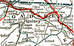
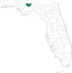
Gadsden County is Florida's 5th county, established on June 4, 1823, from a segment of Jackson County. It gains its name from James Gadsden (1788-1858), an aide-de-camp to General Andrew Jackson during his 1818 campaign in Florida. He later (1853) gained national fame for negotiating a large amount of land from Mexico in what became known as the Gadsden purchase. Quincy is the county seat. Quincy was named after John Quincy Adams, who was then Secretary of State and later became sixth President of the United States.
For earlier maps of this area, visit the Jackson County map gallery.
|
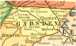
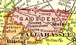
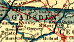
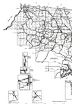
Gadsden County,
1909 |
|
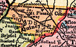
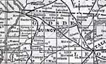
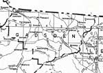
Gadsden County,
1910 |
|
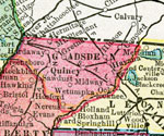
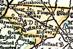
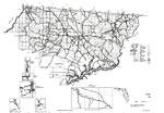
Gadsden County,
1911 |
|
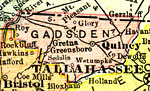
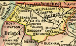
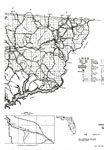
Gadsden County,
1911 |
|
Gadsden County,
1914 |
|
Gadsden County,
1916 |
|
Gadsden County,
1916 |
|
Gadsden County,
1917 |
|
Gadsden County,
1917 |
|
Gadsden County,
1920 |
|
Gadsden County,
1920 |
|
Gadsden County,
1921 |
|
Gadsden County,
1921 |
|
Gadsden County,
1932 |
|
Gadsden,
1936 |
|
Gadsden East,
1936 |
|
Gadsden West,
1936 |
|
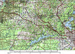
Gadsden County,
1988 |
|
Gadsden EPA Superfund Sites,
2008 |
|
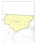
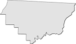
Locater Map of Gadsden County,
2008 |
|
Clipart Collection: Gadsden County Maps in 50 Colors,
2008 |

|
Plain Frames Collection: Gadsden County Maps in 30 Colors,
2008 |

|
Fancy Frames Collection: Gadsden County Maps in 30 styles,
2008 |

|
Florida Photo Collection: Gadsden County Maps in 30 styles,
2008 |
|
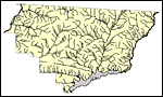
Florida Waterways: Gadsden County Outline,
2008 |
| First | Previous | Next | Last |
| FL Maps > County > Gadsden |
Maps ETC
is a part of the
Educational Technology Clearinghouse
Produced by the
Florida Center for Instructional Technology
© 2007
College of Education
,
University of South Florida