|
|
|
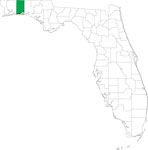
| FL Maps > County > Okaloosa |
Click on a thumbnail image to view a full size version of that map.
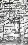
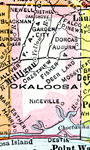
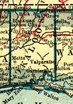
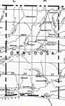
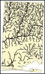
Okaloosa County is Florida's 52nd county, established on June 13, 1915, from segments of Santa Rosa County and Walton County. It gains its name from the Choctaw Indian words for the Blackwater River that runs through the county (oka meaning water and lusa meaning black). Crestview is the county seat.
For earlier maps of this area, visit the Santa Rosa County and Walton County map galleries.
|
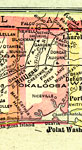
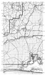
Okaloosa County,
1916 |
|
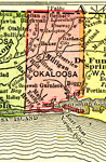
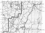
Okaloosa County,
1917 |
|
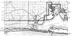
Okaloosa County,
1917 |
|
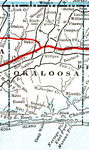
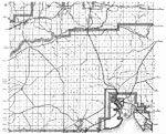
Okaloosa County,
1920 |
|
Okaloosa County,
1920 |
|
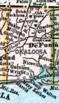
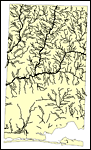
Okaloosa County,
1921 |
|
Okaloosa County,
1921 |
|
Okaloosa County,
1932 |
|
Okaloosa,
1936 |
|
North Okaloosa,
1936 |
|
South Okaloosa,
1936 |
|
Mid Okaloosa,
1936 |
|
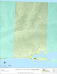
Locater Map of Okaloosa County,
2008 |

|
Clipart Collection: Okaloosa County Maps in 50 Colors,
2008 |

|
Plain Frames Collection: Okaloosa County Maps in 30 Colors,
2008 |

|
Fancy Frames Collection: Okaloosa County Maps in 30 styles,
2008 |

|
Florida Photo Collection: Okaloosa County Maps in 30 styles,
2008 |
|
Florida Waterways: Okaloosa County Outline,
2008 |
|
Florida Waterways: Okaloosa County ,
2008 |
|
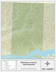
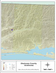
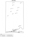
Sinkholes of Okaloosa County, Florida ,
2008 |
|
Florida Waterways: Okaloosa County Outline without Labels,
2008 |

|
Okaloosa "Abstract" Style Maps in 30 Styles,
2008 |

|
Okaloosa County "Fun" Maps in 30 Styles,
2008 |
|
Florida Seagrass: Okaloosa,
2008 |
|
Okaloosa County Cities with Labels,
2009 |
| Next | Last |
| FL Maps > County > Okaloosa |
Maps ETC
is a part of the
Educational Technology Clearinghouse
Produced by the
Florida Center for Instructional Technology
© 2007
College of Education
,
University of South Florida