|
|
|
| FL Maps > County > Santa Rosa |
Click on a thumbnail image to view a full size version of that map.
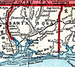
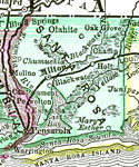
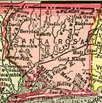
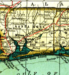
Santa Rosa County is Florida's 21st county, established on February 18, 1842, from a segment of Escambia County. It gains its name from Santa Rosa Island, which was named for Saint Rosa de Viterbo, a Catholic saint. Milton is the county seat.
For earlier maps of this area, visit the Escambia County map gallery.
|
Detail - Florida,
1839 |
|
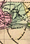
Detail - Map of the State of Florida,
1842 |
|
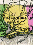
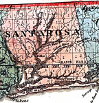
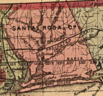
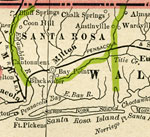
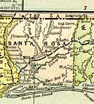
Santa Rosa County,
1850 |
|
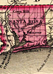
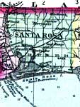
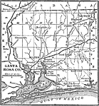
Santa Rosa County,
1850 |
|
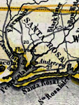
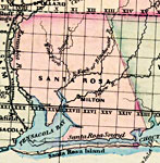
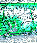
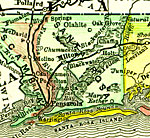
Santa Rosa County,
1856 |

|
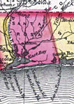
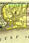
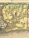
Santa Rosa,
1860 |
|
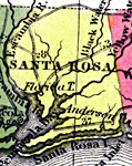
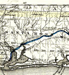
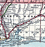
Santa Rosa County,
1863 |
|
Santa Rosa County,
1871 |
|
Santa Rosa County,
1873 |
|
Santa Rosa County,
1874 |
|
Santa Rosa County,
1880 |
|
Santa Rosa County,
1882 |
|
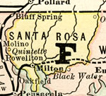
Santa Rosa County,
1883 |
|
Santa Rosa,
1886 |
|
Santa Rosa County,
1886 |
|
Santa Rosa County,
1888 |
|
Santa Rosa County,
1889 |
|
Santa Rosa County,
1890 |
|
Santa Rosa County,
1890 |
|
Santa Rosa County,
1890 |
|
Santa Rosa County,
1892 |
|
Santa Rosa County,
1893 |
|
Santa Rosa County,
1894 |
|
Santa Rosa County,
1895 |
|
Santa Rosa County,
1897 |
| Next | Last |
| FL Maps > County > Santa Rosa |
Maps ETC
is a part of the
Educational Technology Clearinghouse
Produced by the
Florida Center for Instructional Technology
© 2007
College of Education
,
University of South Florida