|
|
|
| FL Maps > County > Palm Beach |
Click on a thumbnail image to view a full size version of that map.
Palm Beach County is Florida's 47th county, established on April 30, 1909, from a segment of Dade County. It gains its name from the large amounts of coconut palm trees found on Atlantic coast of Florida. West Palm Beach is the county seat.
For earlier maps of this area, visit the Dade County map gallery.
|
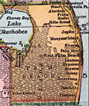
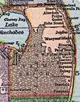
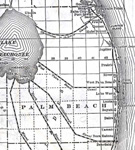
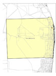
Palm Beach County,
1910 |
|
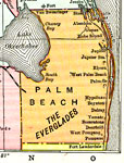
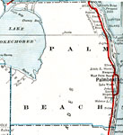
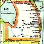
Palm Beach County,
1911 |
|
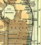
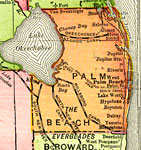
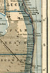
Palm Beach County,
1914 |
|
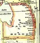
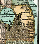
Palm Beach County,
1916 |
|
Palm Beach County,
1916 |
|
Palm Beach County,
1917 |
|
Palm Beach County,
1917 |
|
Palm Beach County,
1920 |
|
Palm Beach County,
1920 |
|
Palm Beach County,
1921 |
|
Palm Beach County,
1921 |

|
Palm Beach County,
1932 |
|
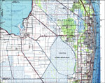
Palm Beach County, Florida,
1987 |
|
Top of the Basal Hawthorn Unit in Palm Beach County,
2000 |
|
Altitude of Basal Contact of the Hawthorn Unit in Palm Beach County,
2000 |
|
Thickness of the Basal Hawthorn Unit in Palm Beach County,
2000 |

|
Top of the Eocene Group Dolomite Unit in the Floridan Aquifer in Palm Beach County,
2000 |
|
Chloride Concentrations in Groundwater in Palm Beach County,
2000 |
|
Palm Beach EPA Superfund Sites,
2008 |
|
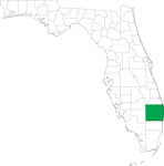
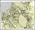
Locater Map of Palm Beach County,
2008 |
|
Clipart Collection: Palm Beach County Maps in 50 Colors,
2008 |
|
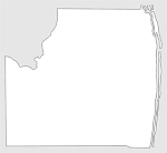
Plain Frames Collection: Palm Beach County Maps in 30 Colors,
2008 |
|
Fancy Frames Collection: Palm Beach County Maps in 30 styles,
2008 |

|
Florida Photo Collection: Palm Beach County Maps in 30 styles,
2008 |
|
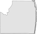
Florida Waterways: Palm Beach County Outline,
2008 |
| Next | Last |
| FL Maps > County > Palm Beach |
Maps ETC
is a part of the
Educational Technology Clearinghouse
Produced by the
Florida Center for Instructional Technology
© 2007
College of Education
,
University of South Florida