|
|
|
| FL Maps > County > Wakulla |
Click on a thumbnail image to view a full size version of that map.
Wakulla County is Florida's 23rd county, established on March 11, 1843, from a segment of Leon County. The origins of its name is unknown, except that it probably comes from a Timucuan word. Crawfordville is the county seat.
For earlier maps of this area, visit the Leon County map gallery.
|
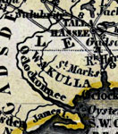
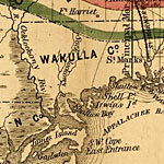
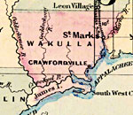
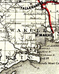
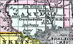
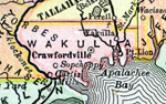
Wakulla County,
1850 |
|
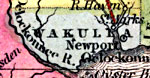
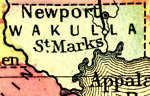
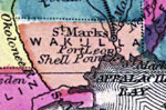
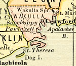
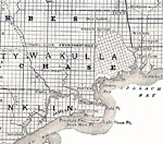
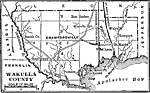
Wakulla County,
1850 |
|
Volusia County,
1856 |
|
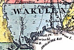
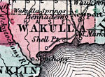
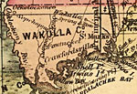
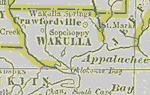
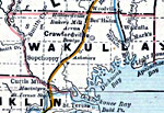
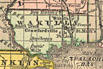
Wakulla County,
1857 |
|
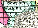
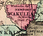
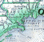
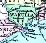
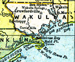
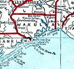
Wakulla County,
1859 |
|
Wakulla County,
1860 |
|
Wakulla,
1860 |
|
Wakulla County,
1863 |
|
Wakulla County,
1871 |
|
Wakulla County,
1873 |
|
Wakulla County,
1874 |
|
Wakulla County,
1880 |

|
Wakulla County,
1880 |
|
Wakulla County,
1882 |
|
Wakulla County,
1883 |
|
Wakulla County,
1886 |
|
Wakulla County,
1886 |
|
Wakulla County,
1888 |
|
Wakulla County,
1888 |
|
Wakulla County,
1889 |
|
Wakulla County,
1890 |
|
Wakulla County,
1890 |
|
Wakulla County,
1890 |
|
Wakulla County,
1892 |
|
Wakulla County,
1893 |
| Next | Last |
| FL Maps > County > Wakulla |
Maps ETC
is a part of the
Educational Technology Clearinghouse
Produced by the
Florida Center for Instructional Technology
© 2007
College of Education
,
University of South Florida