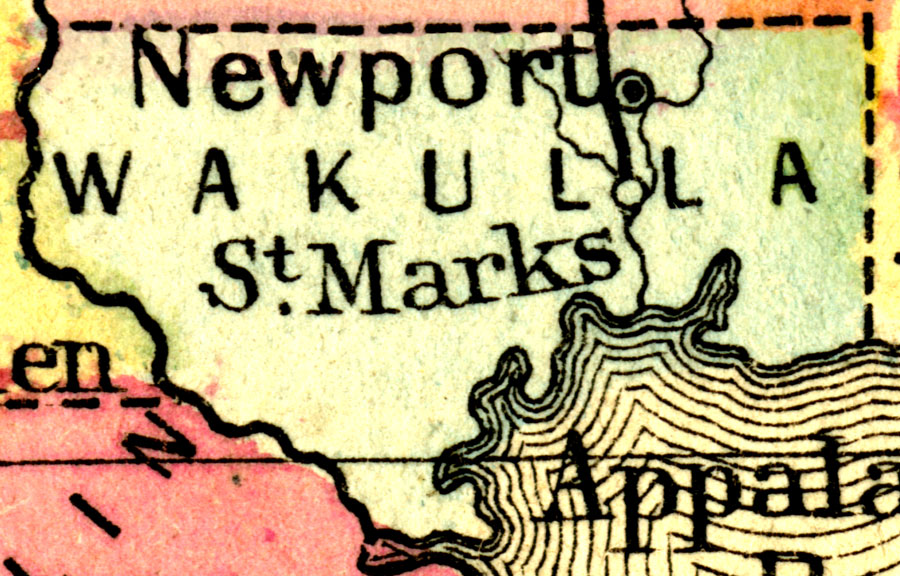
Description: A map of Wakulla County as of 1860 showing railroads, towns, rivers, and the county seat.
Place Names: Wakulla, St. Marks, Newport
ISO Topic Categories: transportation, oceans, inlandWaters, boundaries
Keywords: Wakulla County, physical, political, physical features, major political subdivisions, county borders, transportation, oceans, inlandWaters, boundaries, Unknown,1860
Source: Augustus Mitchell, Mitchell's New General Atlas (Philadelphia, PA: S. Augustus Mitchell, 1860)
Map Credit: Courtesy the private collection of Roy Winkelman. |
|