|
|
|
| FL Maps > County > Hamilton |
Click on a thumbnail image to view a full size version of that map.
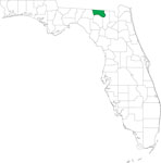
Hamilton County is Florida's 15th county, established on December 26, 1827, from a segment of Escambia County. It gains its name from Alexander Hamilton, the first U.S. Secretary of the Treasury. Jasper is the county seat.
For earlier maps of this area, visit the Escambia County map gallery.
|
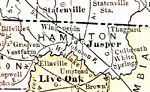
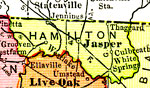
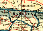
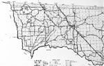
Hamilton County,
1911 |
|
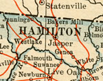
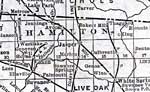
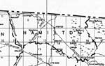
Hamilton County,
1914 |
|
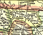
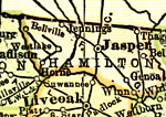
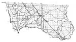
Hamilton County,
1916 |
|
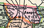
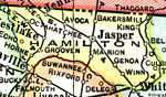
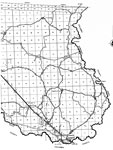
Hamilton County,
1916 |
|
Hamilton County,
1917 |
|
Hamilton County,
1920 |
|
Hamilton County,
1920 |
|
Hamilton County,
1921 |
|
Hamilton County,
1921 |
|
Hamilton County,
1932 |
|
Hamilton,
1936 |
|
East Hamilton,
1936 |
|
West Hamilton,
1936 |
|
Locater Map of Hamilton County,
2008 |
|
Clipart Collection: Hamilton County Maps in 50 Colors,
2008 |
|
Plain Frames Collection: Hamilton County Maps in 30 Colors,
2008 |

|
Fancy Frames Collection: Hamilton County Maps in 30 styles,
2008 |

|
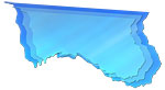
Florida Photo Collection: Hamilton County Maps in 30 styles,
2008 |
|
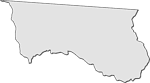
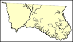
Florida Waterways: Hamilton County Outline,
2008 |
|
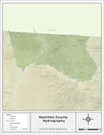
Florida Waterways: Hamilton County ,
2008 |
|
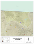
Sinkholes of Hamilton County, Florida,
2008 |
|
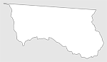
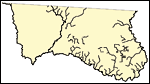
Florida Waterways: Hamilton County Outline without Labels,
2008 |
|
Hamilton "Abstract" Style Maps in 30 Styles,
2008 |

|
Hamilton County "Fun" Maps in 30 Styles,
2008 |
|
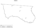
Hamilton County Cities with Labels,
2009 |
| First | Previous | Next | Last |
| FL Maps > County > Hamilton |
Maps ETC
is a part of the
Educational Technology Clearinghouse
Produced by the
Florida Center for Instructional Technology
© 2007
College of Education
,
University of South Florida