|
|
|
| FL Maps > County > Jefferson |
Click on a thumbnail image to view a full size version of that map.
Jefferson County is Florida's 13th county, established on January 20, 1827, from a segment of Escambia County. It gains its name from Thomas Jefferson (1743-1826), the 3th President of the United States (1801-1809). Monticello, named after Jefferson's historic home in Virginia, is the county seat.
For earlier maps of this area, visit the Escambia County map gallery.
|
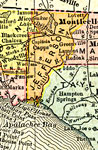
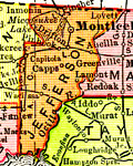
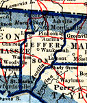
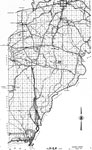
Jefferson County,
1911 |
|
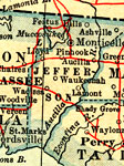
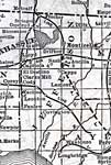
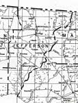
Jefferson County,
1914 |

|
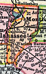
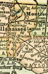
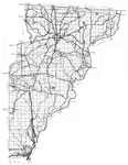
Jefferson County,
1916 |
|
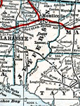
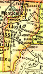
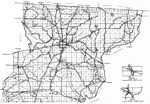
Jefferson County,
1916 |
|
Jefferson County,
1917 |
|
Jefferson County,
1917 |
|
Jefferson County,
1920 |
|
Jefferson County,
1920 |
|
Jefferson County,
1921 |
|
Jefferson County,
1921 |
|
Jefferson County,
1932 |
|
Jefferson,
1936 |
|
North Jefferson,
1936 |
|
South Jefferson,
1936 |
|
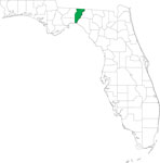
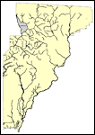
Locater Map of Jefferson County,
2008 |
|
Clipart Collection: Jefferson County Maps in 50 Colors,
2008 |
|
Plain Frames Collection: Jefferson County Maps in 30 Colors,
2008 |
|
Fancy Frames Collection: Jefferson County Maps in 30 styles,
2008 |
|
Florida Photo Collection: Jefferson County Maps in 30 styles,
2008 |
|
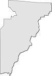
Florida Waterways: Jefferson County Outline,
2008 |
|
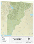
Florida Waterways: Jefferson County ,
2008 |
|
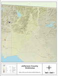
Sinkholes of Jefferson County, Florida ,
2008 |
|
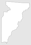
Florida Waterways: Jefferson County Outline without Labels,
2008 |
|
Jefferson "Abstract" Style Maps in 30 Styles,
2008 |

|
Jefferson County "Fun" Maps in 30 Styles,
2008 |
| First | Previous | Next | Last |
| FL Maps > County > Jefferson |
Maps ETC
is a part of the
Educational Technology Clearinghouse
Produced by the
Florida Center for Instructional Technology
© 2007
College of Education
,
University of South Florida