|
|
|
| FL Maps > County > Pasco |
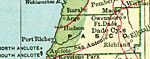
Click on a thumbnail image to view a full size version of that map.
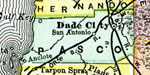
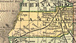
Pasco County is Florida's 45th county, established on June 2, 1887, from a segment of Hernando County. It gains its name from Samuel Pasco of Monticello. At the time the county was named, he was Speaker of the Florida House of Representatives. He later went on to serve in the United States Senate. Dade City, named after Major Francis Langhorne Dade, U.S. Army, is the county seat. Dade was killed by Seminoles on December 28, 1835, when his detachment of 110 men were ambushed and slaughtered in what became known as "The Dade Massacre."
For earlier maps of this area, visit the Hernando County map gallery.
|
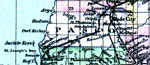
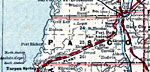
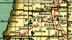
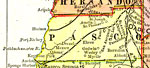
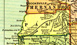
Pasco County,
1886 |
|
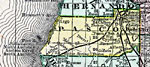
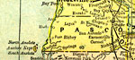
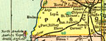
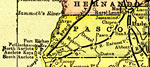
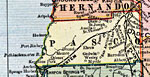
Pasco County,
1888 |
|
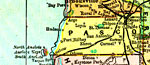
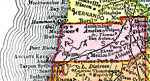
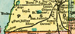
Pasco County,
1888 |
|
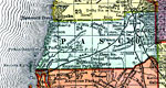
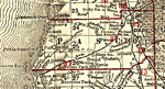
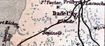
Pasco County,
1888 |
|
Pasco County,
1889 |
|
Pasco County,
1890 |
|
Pasco County,
1890 |
|
Pasco County,
1890 |
|
Pasco County,
1892 |
|
Pasco County,
1893 |
|
Pasco County,
1894 |
|
Pasco County,
1895 |
|
Pasco County,
1897 |
|
Pasco County,
1898 |
|
Pasco County,
1898 |
|
Pasco County,
1898 |
|
Pasco County,
1899 |
|
Pasco County,
1900 |
|
Pasco County,
1900 |
|
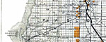
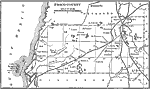
Florida Railroads - Pasco County,
1900 |
|
Pasco County,
1902 |
|
Pasco County,
1902 |
|
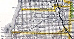
Pasco County,
1904 |
|
Pasco County,
1904 |
|
Pasco County,
1907 |
| Next | Last |
| FL Maps > County > Pasco |
Maps ETC
is a part of the
Educational Technology Clearinghouse
Produced by the
Florida Center for Instructional Technology
© 2007
College of Education
,
University of South Florida