|
|
|
| FL Maps > County > Polk |
Click on a thumbnail image to view a full size version of that map.
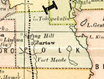
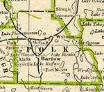
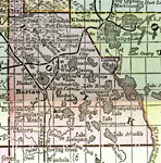
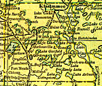
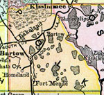
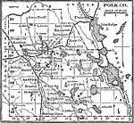
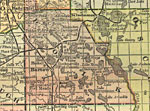
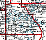
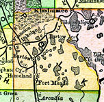
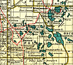
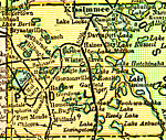
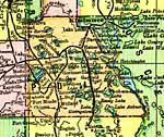
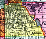
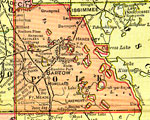
Polk County is Florida's 39th county, established on February 8, 1861, from segments of Brevard County and Hillsborough County. It gains its name from James Knox Polk (1795-1849), the 11th President of the United States (1845-1849). Bartow is the county seat. Bartow was named after Confederate General Francis F. Bartow, who was the first general officer of either side to fall during the Civil War.
For earlier maps of this area, visit the Brevard County and Hillsborough County map galleries.
|
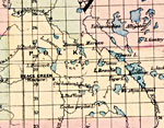
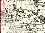
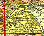
Polk County,
1871 |
|
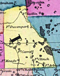
Polk County,
1873 |
|
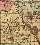
Polk County,
1874 |
|
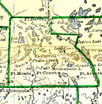
Polk County,
1880 |
|
Polk County,
1882 |
|
Polk County,
1883 |
|
Polk County,
1886 |
|
Polk County,
1886 |
|
Polk County,
1888 |
|
Polk County,
1888 |
|
Polk County,
1888 |
|
Polk County,
1889 |
|
Polk County,
1890 |
|
Polk County,
1890 |
|
Polk County,
1890 |
|
Polk County,
1892 |
|
Polk County,
1893 |
|
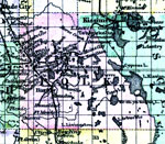
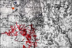
Map of the Phosphate Fields of Florida - Polk,
1893 |
|
Polk County,
1894 |
|
Polk County,
1897 |
|
Polk County,
1898 |
|
Polk County,
1898 |
|
Polk County,
1898 |
|
Polk County,
1899 |
|
Polk County,
1900 |
| Next | Last |
| FL Maps > County > Polk |
Maps ETC
is a part of the
Educational Technology Clearinghouse
Produced by the
Florida Center for Instructional Technology
© 2007
College of Education
,
University of South Florida