|
|
|
| FL Maps > County > St. Johns |
Click on a thumbnail image to view a full size version of that map.
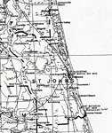
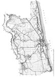
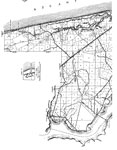
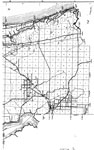
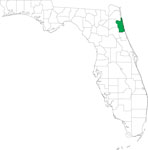
St. Johns County is one of Florida's two original counties (Escambia being the other) and was established on July 21, 1821. It gains its name from the St. Johns River. Saint Augustine, which is the oldest continuously settled city in the United States, is the county seat. Pedro Menéndez de Avilés founded the city in 1565 and named it after Saint Augustine, Bishop of Hippo.
|
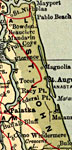
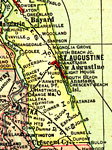
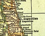
St. Johns County,
1907 |
|
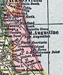
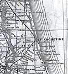
St. Johns County,
1910 |
|
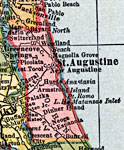
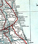
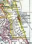
St. Johns County,
1911 |
|
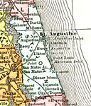
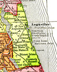
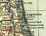
St. Johns County,
1914 |
|
St. Johns County,
1916 |
|
St. Johns County,
1916 |
|
St. Johns County,
1917 |
|
St. Johns County,
1917 |
|
St. Johns County,
1920 |
|
St. Johns County,
1920 |
|
St. Johns County,
1921 |
|
St. Johns County,
1921 |
|
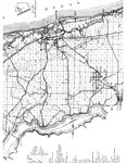
St. Johns County,
1932 |
|
St. Johns,
1936 |
|
North St. Johns,
1936 |
|
South St. Johns,
1936 |
|
Mid St. Johns,
1936 |
|
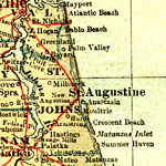
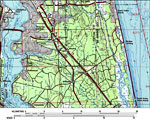
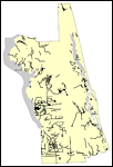
St. Johns County,
1980 |
|
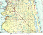
St. Johns County,
1988 |
|
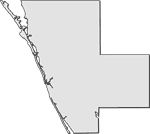
Locater Map of St. Johns County,
2008 |
|
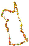
Clipart Collection: St. Johns County Maps in 50 Colors,
2008 |

|
Plain Frames Collection: St. Johns County Maps in 30 Colors,
2008 |
|
Fancy Frames Collection: St. Johns County Maps in 30 styles,
2008 |

|
Florida Photo Collection: St. Johns County Maps in 30 styles,
2008 |
|
Florida Waterways: St Johns County Outline,
2008 |
| First | Previous | Next | Last |
| FL Maps > County > St. Johns |
Maps ETC
is a part of the
Educational Technology Clearinghouse
Produced by the
Florida Center for Instructional Technology
© 2007
College of Education
,
University of South Florida