|
|
|
| FL Maps > Region > 1820-1839 |
|
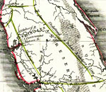
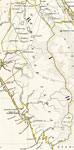
Map of the Lands Belonging to R.S. Hackley, esq., in East Florida,
1823 |
|
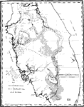
Peninsular Florida Reservation,
1824 to 1832 |
|
Apalachicola Reservations,
1824 to 1832 |
|
Indian Land Cessions: Florida,
1824 to 1832 |
|
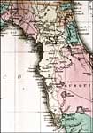
Map of the Western Part of Florida,
1827 |
|
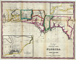
Geographical, statistical, and historical map of Florida,
1827 |
|
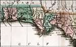
Geographical, statistical, and historical map of Florida,
1827 |
|
Indian Reserve,
1830 |
|
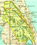
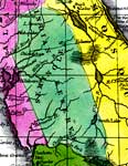
Seminole Lands,
1834 |
|
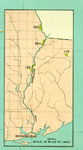
Seminole Indian Reserve,
1834 |
|
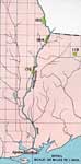
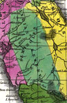
Florida Seminole Lands,
1834 |

|
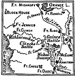
The Seat of War in Florida,
1835 |
|
Seat of Seminole War,
1835 to 1842 |
| FL Maps > Region > 1820-1839 |
Maps ETC
is a part of the
Educational Technology Clearinghouse
Produced by the
Florida Center for Instructional Technology
© 2007
College of Education
,
University of South Florida