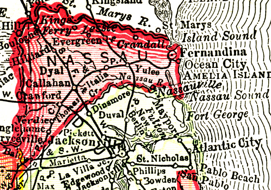
Description: This Florida map of Nassau County outlines the county boundary and railroads connecting the major cities, current to 1895.
Place Names: Nassau, Kings Ferry, Yulee Heights, Evergreen, Italia, Callahan
ISO Topic Categories: boundaries, society, transportation
Keywords: Nassau County, political, transportation, county borders, railroads, boundaries, society, transportation, Unknown,1895
Source: Rand, McNally & Co., The Encyclopedia Britannica Vol. IX (New York, NY: The Werner Company, 1903) 338
Map Credit: Courtesy the private collection of Roy Winkelman. |
|