mapsExploring Florida
 FL Maps > County > Nassau > Nassau County, 1895
Site Map 

Nassau County, 1895


Puzzle Directions: Click on a puzzle piece and drag it where you want it. When you connect two pieces correctly, they will join together. Mix up the pieces again. View finished map in pop-up window.

Title: Nassau County
Projection: Unknown
Source Bounding Coordinates:
W: -83 E: -81 N: 31 S: 30

Back to Map Page
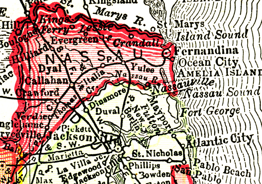
Description: This Florida map of Nassau County outlines the county boundary and railroads connecting the major cities, current to 1895.
Source: Rand, McNally & Co., The Encyclopedia Britannica Vol. IX (New York, NY: The Werner Company, 1903) 338
Map Credit: Courtesy the private collection of Roy Winkelman.
SearchLicensePDF HelpGIS Help Google Earth Help Zoomify Help

 FL Maps > County > Nassau > Nassau County, 1895