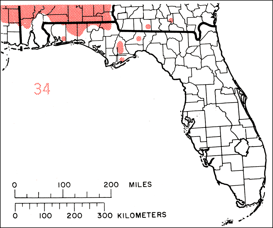
Description: This is a map showing the distribution of the Carya pallida or sand hickory in Florida. "Coastal plain from s. N.J. and Delaware, s. to Georgia, w. to nw. Florida and se Louisiana, and n. in Miss. Valley to Tennessee, se. Kentucky, s. Illinois, and sw. Indiana. Also recorded from Connecticut." —Elbert L. Little, Jr. For more information, read the introduction to the Atlas of United States Trees Vol. 5 Florida.
Source: Elbert L. Little, Jr., Atlas of United States Trees Volume 5 Florida (Washington, D.C.: United States Government Printing Office, 1978)
Map Credit: United States Government Printing Office |
|