mapsExploring Florida
 FL Maps > Tree Distribution > Temperate Hardwoods C-H > Castanea pumila or Allegheny chinkapin, 1978
Site Map 

Castanea pumila or Allegheny chinkapin, 1978


Puzzle Directions: Click on a puzzle piece and drag it where you want it. When you connect two pieces correctly, they will join together. Mix up the pieces again. View finished map in pop-up window.

Title: Castanea pumila or Allegheny chinkapin
Projection: Unknown
Source Bounding Coordinates:
W: E: N: S:

Back to Map Page
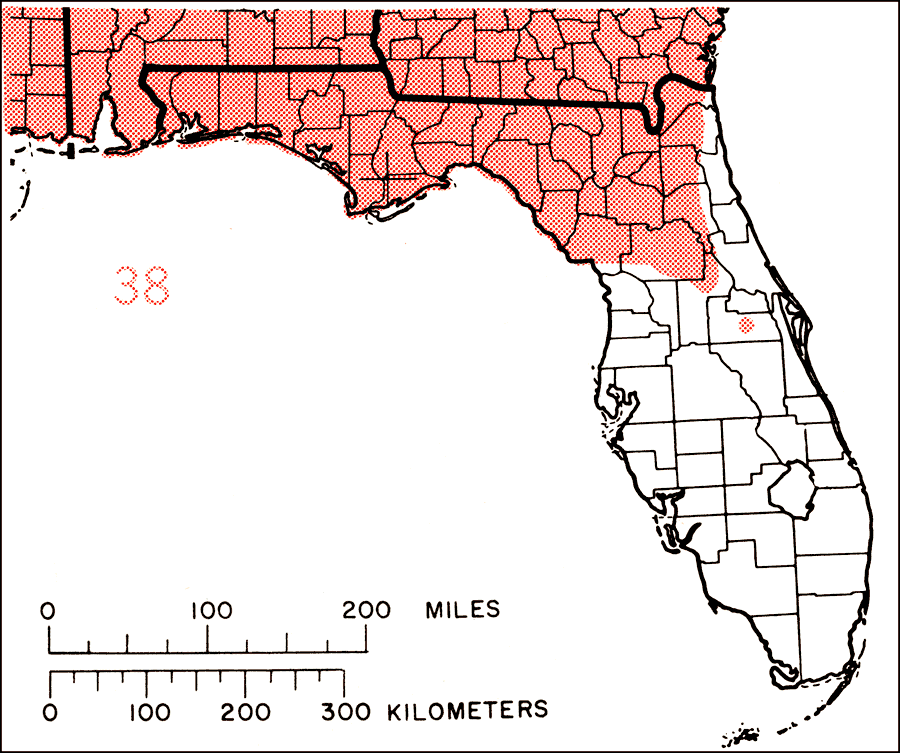
Description: This is a map showing the distribution of the Castanea pumila or Allegheny chinkapin in Florida. "N.J. and s. Pa., sw. to extreme e. Kentucky, Tennessee, Arkansas, and se. Oklahoma, and s. to e. Texas and c. Florida. Also local in s. Ohio." —Elbert L. Little, Jr. For more information, read the introduction to the Atlas of United States Trees Vol. 5 Florida.
Source: Elbert L. Little, Jr., Atlas of United States Trees Volume 5 Florida (Washington, DC: United States Government Printing Office, 1978)
Map Credit: Courtesy the private collection of Roy Winkelman.
SearchLicensePDF HelpGIS Help Google Earth Help Zoomify Help

 FL Maps > Tree Distribution > Temperate Hardwoods C-H > Castanea pumila or Allegheny chinkapin, 1978