mapsExploring Florida
 FL Maps > Tree Distribution > Temperate Hardwoods C-H > Cercis canadensis or eastern redbud, 1978
Site Map 

Cercis canadensis or eastern redbud, 1978


Puzzle Directions: Click on a puzzle piece and drag it where you want it. When you connect two pieces correctly, they will join together. Mix up the pieces again. View finished map in pop-up window.

Title: Cercis canadensis or eastern redbud
Projection: Unknown
Source Bounding Coordinates:
W: E: N: S:

Back to Map Page
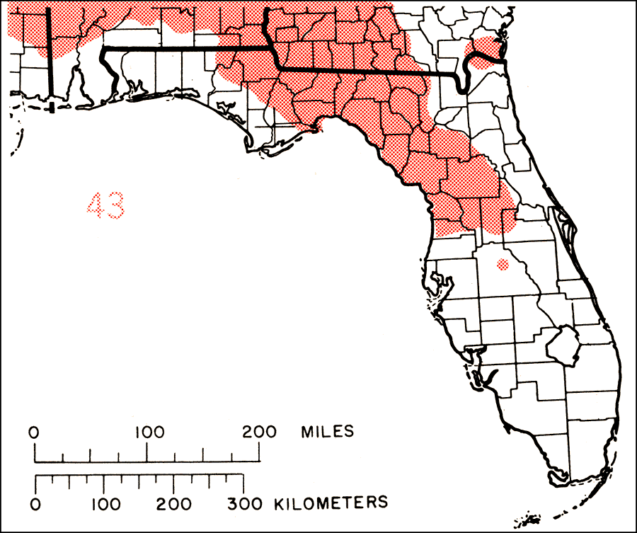
Description: This is a map showing the distribution of the Cercis canadensis or eastern redbud in Florida. "N.J. and Pa., w. to s. Michigan and se. Nebraska, s. to Trans-Pecos and s. Texas, and e. to c. Florida. Also in n. Mexico. Extinct one locality in extreme sw. Ontario." —Elbert L. Little, Jr. For more information, read the introduction to the Atlas of United States Trees Vol. 5 Florida.
Source: Elbert L. Little, Jr., Atlas of United States Trees Volume 5 Florida (Washington, D.C.: United States Government Printing Office, 1978)
Map Credit: United States Government Printing Office
SearchLicensePDF HelpGIS Help Google Earth Help Zoomify Help

 FL Maps > Tree Distribution > Temperate Hardwoods C-H > Cercis canadensis or eastern redbud, 1978