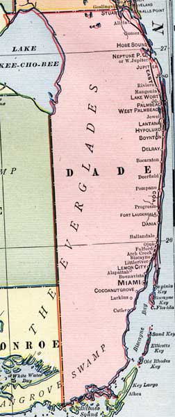
Description: This is a detail of a map of Florida, displaying county borders, county seats, and railroads current to 1902 for Dade County. Major and minor cities are shown, as well as major waterways. The features of the map include Biscayne Bay, Boca Raton, and Miami.
Place Names: Dade, Lake Okeechobee, Stuart, Alicia, Gomez, Hobe Sound, Neptune, Jupiter, Jno, Riviera, Mangonia, Lake Worth, Palmbeach, Jewell, Lantana, Hypoluxo, Boynton, Delray, Boca Raton, Deerfield, Pompano, Progresso, Dania, Hallandale, Ojus, Fulford, Arch Creek, Biscayne, Littleriver, Lemon City, Alapattah, Buena Vista, Miami, Cocoanut Grove, Larkins, Cutlero, Biscayne Bay, Sand Key, Ellicotts Key, Old Rhodes, Barnes Sound,
ISO Topic Categories: boundaries, oceans, inlandWaters, transportation
Keywords: Dade County, physical, political, transportation, physical features, county borders, railroads, boundaries, oceans, inlandWaters, transportation, Unknown,1902
Source: George Franklin Cram, Cram's Atlas (Chicago, Il: George F. Cram, 1902)
Map Credit: Courtesy the private collection of Roy Winkelman. |
|