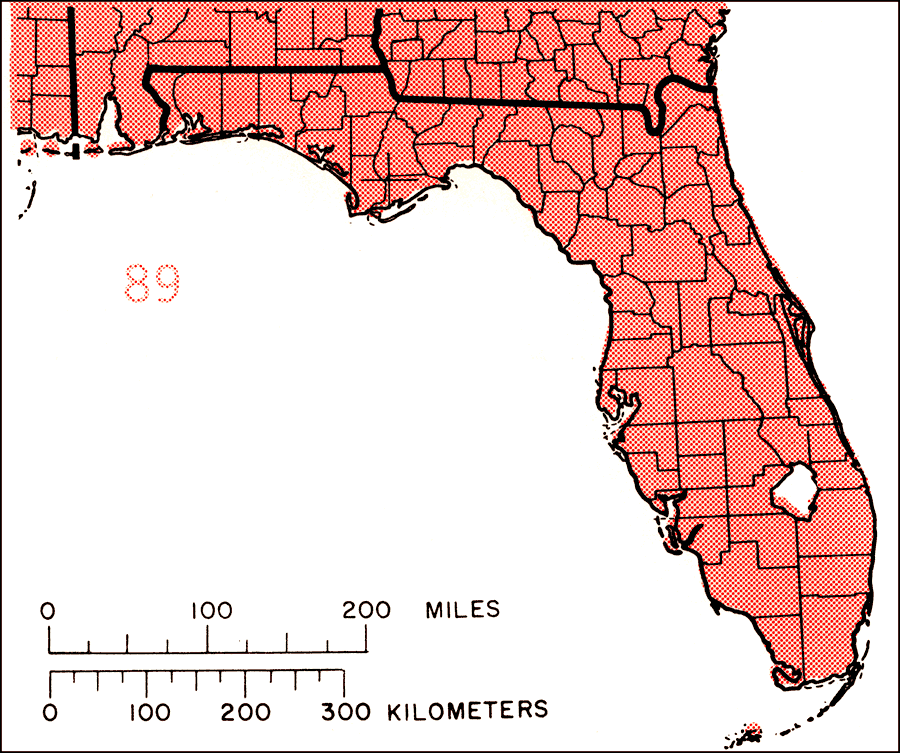
Description: This is a map showing the distribution of the Myrica cerifera or southern bayberry in Florida. "Coastal plain from s. N.J., Delaware, and s. Md., s. to s. Florida including Florida Keys, and w. to s. and c. Texas, and n. to extreme se. Oklahoma, c. Arkansas, and c. Mississippi. Also in Bermuda, Bahamas, Cuba, Hispaniola, and Puerto Rico and in Mexico and C. America from Belize s. to Costa Rica." —Elbert L. Little, Jr. For more information, read the introduction to the Atlas of United States Trees Vol. 5 Florida.
Source: Elbert L. Little, Jr., Atlas of United States Trees Volume 5 Florida (Washington, D.C.: United States Government Printing Office, 1978)
Map Credit: United States Government Printing Office |
|