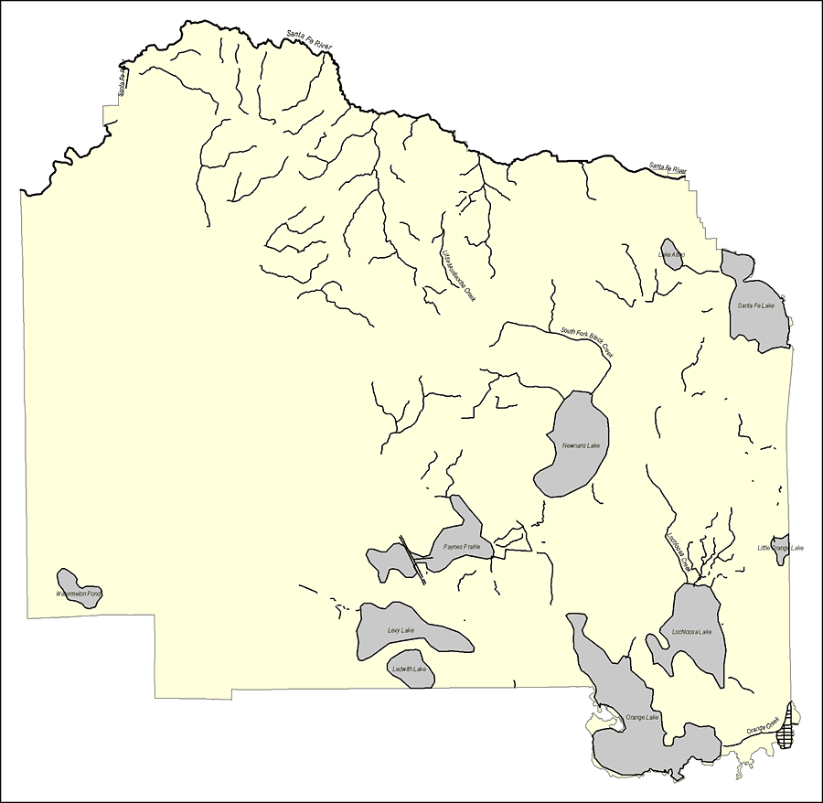
Description: This map was created by FCIT and shows the waterways of Alachua County. All major rivers, streams, creeks, lakes, and swamps are labeled. This map details the Santa Fe River, Watermelon Pond, Little Monteocha Creek, Lake Altro, South Fork Black Creek, Newnans Lake, Santa Fe Lake, Little Orange Lake, Lochloosa Creek, Lochloosa Lake, Orange Lake, Orange Creek, Ledwith Lake, Levy Lake, and Payness Prairie.
Source: Florida Center for Instructional Technology, (Tampa, FL: University of South Florida, 2008)
Map Credit: Courtesy of the Florida Center for Instructional Technology |
|