mapsExploring Florida
 FL Maps > County > Indian River > Florida Waterways: Indian River County Outline, 2008
Site Map 

Florida Waterways: Indian River County Outline, 2008


Puzzle Directions: Click on a puzzle piece and drag it where you want it. When you connect two pieces correctly, they will join together. Mix up the pieces again. View finished map in pop-up window.

Title: Florida Waterways: Indian River County Outline
Projection:
Source Bounding Coordinates:
W: E: N: S:

Back to Map Page
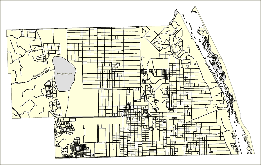
Description: This map was created by FCIT and shows the waterways of Indian River County. All major rivers, streams, creeks, lakes, and swamps are labeled. This map features Main Canal, Indian River, Saint Sebatian River, Blue Cypress Lake, and Blue Cypress Creek.
Source: Florida Center for Instructional Technology, (Tampa, FL: University of South Florida, 2008)
Map Credit: Courtesy of the Florida Center for Instructional Technology
SearchLicensePDF HelpGIS Help Google Earth Help Zoomify Help

 FL Maps > County > Indian River > Florida Waterways: Indian River County Outline, 2008