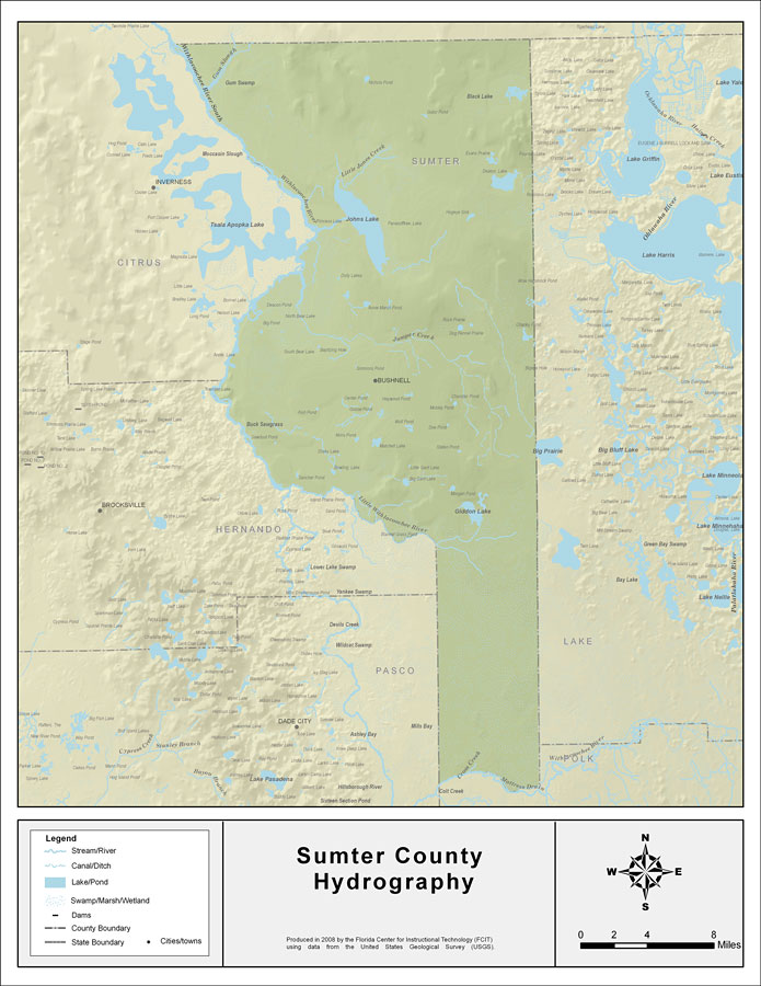
Description: This map was created by FCIT and shows the waterways of Sumter County. All major rivers, streams, creeks, lakes, and swamps are labeled. This map features Gum Slough, Withlacoochee River South, Little Jones Creek, Johns Lake, Jumper Creek, Big Prairie, Giddon Lake, Little Withlacoochee River, Cross Creek, Withlacoochee River, and Tiger Branch.
Place Names: Sumter, Gum Slough, Withlacoochee River South, Little Jones Creek, Johns Lake, Jumper Creek, Big Prairie, Giddon Lake, Little Withlacoochee River, Cross Creek, Withlacoochee River, Tiger Branch, Bushnell
ISO Topic Categories: boundaries, inlandWaters
Keywords: Florida Waterways: Sumter County , political, physical, kriversandstreams, physical features, county borders, photograph in shape of map, photo, Florida mapboundaries, inlandWaters, 2008
Source: Florida Center for Instructional Technology, (Tampa, FL: University of South Florida, 2008)
Map Credit: Courtesy of the Florida Center for Instructional Technology |
|