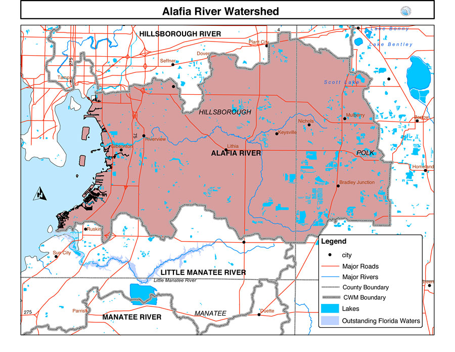
Description: This is a map from the Southwest Florida Watershed Management District or SWFWMD of the Alafia River watershed. This map shows the Comprehensive Watershed Management or CWM boundary shown by the thick gray line and outstanding Florida waters highlighted in lavender. It also shows surrounding cities, major roads, rivers and lakes and county boundaries.
Place Names: 2000-, Alafia River, �Hillsborough, �Manatee, �Polk, �Ruskin, �Sun City, �Plant City, �Tampa, �Seffner, �Dover, �Nichols, �Keysville, �Riverview, �Gibsonton, �Duette, �Parrish
ISO Topic Categories: boundaries, �inlandWaters, �transportation, �geoscientificInformation
Keywords: Alafia River Watershed, physical, �political, �transportation, �hydrological, �watershed, �kwatershed, physical features, county borders, roads, boundaries, �inlandWaters, �transportation, �geoscientificInformation, Unknown,2001
Source: Southwest Florida Water Management District, Alafia River Comprehensive Watershed Management Plan Atlas (Brooksville, FL: Southwest Florida Water Management District, 2001)
Map Credit: Courtesy of the Southwest Florida Water Management District |
|