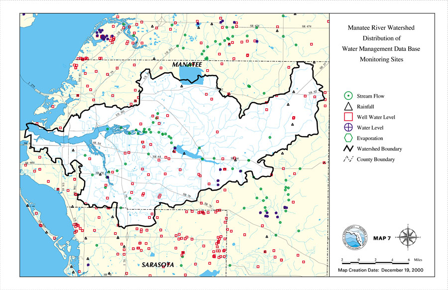
Description: This is a map from the Southwest Florida Watershed Management District or SWFWMD of the Manatee River watershed distribution of water management data base monitoring sites created on December 19, 2000. This map shows stream flow sites (green circle), rainfall sites (black triangle), well water level (red square), water level, and evaporation sites (green hexagon). It also shows the Watershed Management boundary shown by the thick black line, US/State roads and county boundaries.
Place Names: 2000-, Manatee River, �Manatee, �Sarasota
ISO Topic Categories: boundaries, �inlandWaters, �transportation, �geoscientificInformation
Keywords: Manatee River Watershed Distribution of Water Management Data Base Monitoring Sites- Map 7, physical, �political, �transportation, �hydrological, �watershed, �kwatershed, physical features, county borders, roads, boundaries, �inlandWaters, �transportation, �geoscientificInformation, Unknown,December 19, 2000
Source: Southwest Florida Water Management District, Manatee River Comprehensive Watershed Management Plan Atlas (Brooksville, FL: Southwest Florida Water Management District, 2000)
Map Credit: Courtesy of the Southwest Florida Water Management District |
|