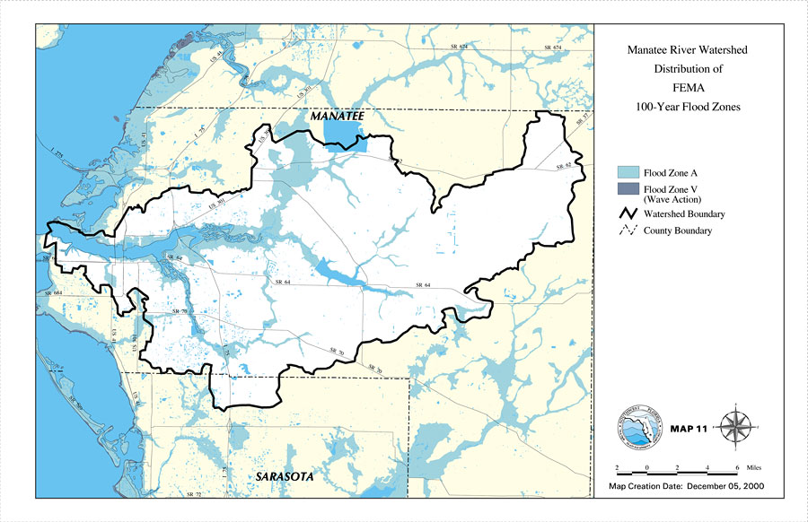
Description: This is a map from the Southwest Florida Watershed Management District or SWFWMD of the Manatee River watershed distribution of FEMA 100-year flood zones created on December 5, 2000. Flood Zone A is shown in light blue and Flood Zone V (wave action) is shown in dark blue. It also shows the Watershed Management boundary shown by the thick black line, US/State roads, inland water and county boundaries.
Place Names: 2000-, Manatee River, �Manatee, �Sarasota
ISO Topic Categories: boundaries, �inlandWaters, �transportation, �geoscientificInformation
Keywords: Manatee River Watershed Distribution of FEMA 100-Year Flood Zones- Map 11, physical, �political, �transportation, �hydrological, �watershed, �kwatershed, physical features, county borders, roads, boundaries, �inlandWaters, �transportation, �geoscientificInformation, Unknown,December 5, 2000
Source: Southwest Florida Water Management District, Manatee River Comprehensive Watershed Management Plan Atlas (Brooksville, FL: Southwest Florida Water Management District, 2000)
Map Credit: Courtesy of the Southwest Florida Water Management District |
|