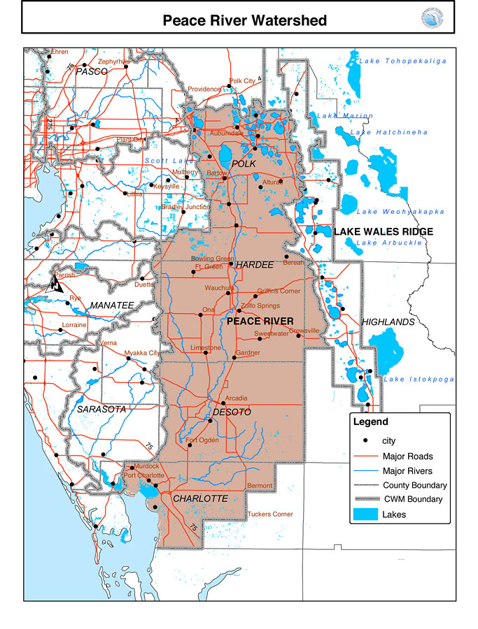
Description: This is a map from the Southwest Florida Watershed Management District or SWFWMD of the Peace River watershed. This map shows the Comprehensive Watershed Management or CWM boundary (thick gray line), surrounding cities, major roads, rivers and lakes and county boundaries.
Place Names: 2000-, Peace River, �Lake Whales Ridge, �Highlands, �Sarasota, �Manatee, �Desoto, �Charlotte, �Hardee, �Bartow, �Gardner, �Polk City
ISO Topic Categories: boundaries, �inlandWaters, �transportation, �geoscientificInformation
Keywords: Peace River Watershed, physical, �political, �transportation, �hydrological, �watershed, �kwatershed, physical features, county borders, roads, boundaries, �inlandWaters, �transportation, �geoscientificInformation, Unknown,n. d.
Source: Southwest Florida Water Management District, (Brooksville, FL: Southwest Florida Water Management District, n. d.)
Map Credit: Courtesy of the Southwest Florida Water Management District |
|