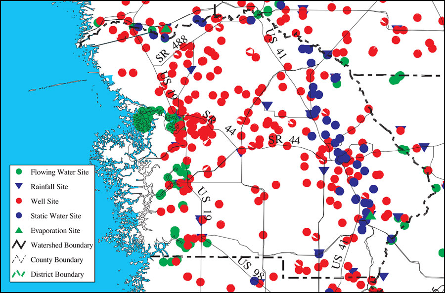
Description: This is a detail map of Citrus County extracted from the Southwest Florida Watershed Management District or SWFWMD Withlacoochee River Watershed Distribution of Water Management Data Base Monitoring Sites map, created on May 9, 2001. This map shows flowing water sites with a green dot, rainfall sites with a purple triangle, well sites with a red dot, static water sites with a purple dot, and evaporation sites with a green triangle. It also shows inland water, US/State roads and county boundaries. From the original map: "Data are collected at these sites by the District. This information is stored in a tabular format, utilizing latitude and longitude locations for each of the sites. The data are current as of the date of this map." —Southwest Florida Watershed Management District
Place Names: Citrus, Citrus, �Citrus County
ISO Topic Categories: boundaries, �geoscientificInformation, �inlandWaters, �transportation
Keywords: Withlacoochee River Watershed Distribution of Water Management Data Base Monitoring Sites- Citrus County, physical, �political, �transportation, �hydrological, �watershed, �kwatershed, physical features, county borders, roads, boundaries, �geoscientificInformation, �inlandWaters, �transportation, Unknown,May 9, 2001
Source: Southwest Florida Water Management District, Withlacoochee River Comprehensive Watershed Management Plan Atlas, Withlacoochee River Watershed Distribution of Water Management Data Base Monitoring Sites Map (Brooksville, FL: Southwest Florida Water Management District, 2001)
Map Credit: Courtesy of the Southwest Florida Water Management District |
|