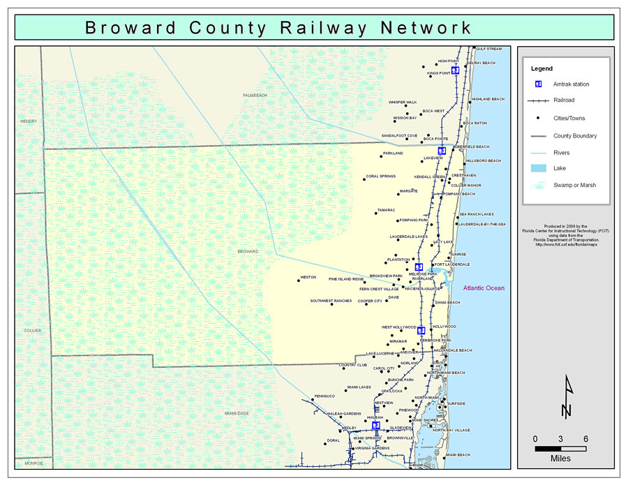
Description: This is a color railroad map of Broward county, 2009. It also shows location of cities and towns including Hallandale and Ft. Lauderdale, inland water including rivers and lakes, and Amtrak stations.
Place Names: Broward, Lauderhill, �Lauderdale Lakes, �Ft. Lauderdale, �Pembroke Pines, �Hollywood, �Miramar, �Deerfield Beach, �Lakeview, �Pompano Beach Highlands, �Hillsboro Beach, �Cresthaven, �Collier Manor, �Kendall Green, �Pompano Beach, �Sea Ranch Lakes, �North Lauderdale, �Pompano Park, �Tamarac, �Coral Springs, �Parkland, �North Andrews Gardens, �Lauderdale-by-the-Sea, �Lazy Lake, �Wilton Manors, �Sunrise, �Oakland Park, �Plantation, �Browardale, �Melrose Park, �Fort Lauderdale, �Riverland, �Broadview Park, �Pine Island Ridge, �Fern Crest Village, �Cooper City, �Davie, �Dania Beach, �West Hollywood, �Hallandale Beach, �Lake Forest, �Pembroke Park, �Miami Gardens, �Southwest Ranches, �Weston
ISO Topic Categories: boundaries, �transportation, �inlandWaters
Keywords: Broward County Railway Network- Color, physical, �transportation, �political, county borders, railroads, boundaries, �transportation, �inlandWaters, Albers_Conical_Equal,2009
Source: Florida Center for Instructional Technology, Exploring Florida: Social Studies Resources �for Students and Teachers (Tampa, FL: University of South Florida, 2009)
Map Credit: Courtesy of the Florida Center for Instructional Technology, Author: Samer Slaiby |
|