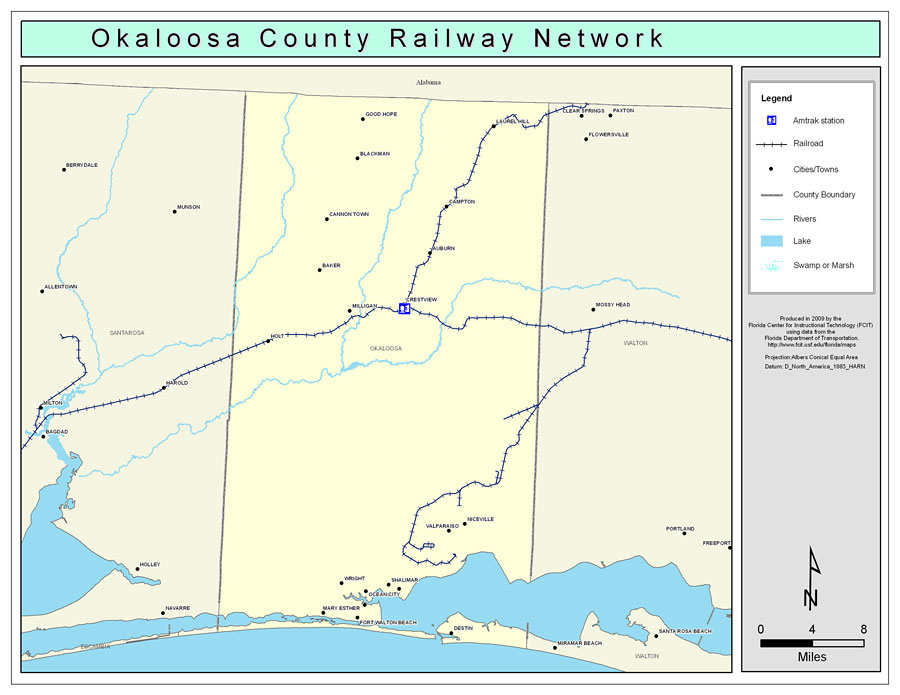
Description: This is a color railroad map of Okaloosa county, 2009. It also shows location of cities and towns including Fort Walton Beach and Auburn, inland water including rivers and lakes, and Amtrak stations.
Place Names: Okaloosa, Blackman, �Laurel Hill, �Baker, �Auburn, �Crestview, �Milligan, �Niceville, �Good Hope, �Cannon Town, �Campton, �Holt, �Valparaiso, �Wright, �Shalimar, �Ocean City, �Lake Lorraine, �Cinco Bayou, �Mary Esther, �Fort Walton Beach, �Destin
ISO Topic Categories: boundaries, �transportation, �inlandWaters
Keywords: Okaloosa County Railway Network- Color, physical, �transportation, �political, county borders, railroads, boundaries, �transportation, �inlandWaters, Albers_Conical_Equal,2009
Source: Florida Center for Instructional Technology, Exploring Florida: Social Studies Resources �for Students and Teachers (Tampa, FL: University of South Florida, 2009)
Map Credit: Courtesy of the Florida Center for Instructional Technology, Author: Samer Slaiby |
|