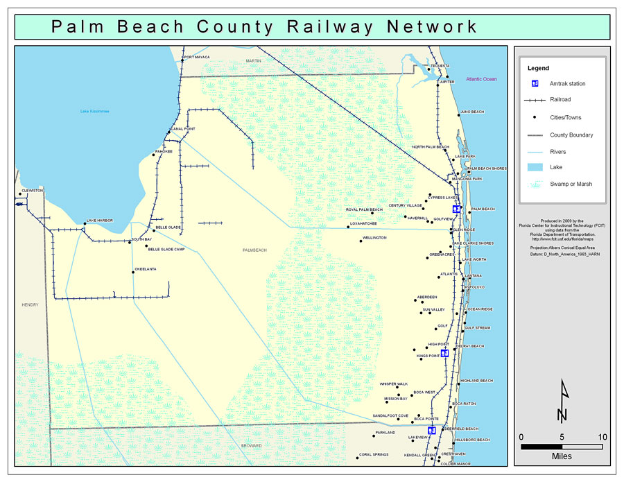
Description: This is a color railroad map of Palm Beach county, 2009. It also shows location of cities and towns including West Palm Beach and Boca Raton, inland water including rivers and lakes, and Amtrak stations.
Place Names: Palm Beach, Pahokee, �Belle Glade, �South Bay, �Tequesta, �Jupiter, �Juno Beach, �Palm Beach, �Jupiter Inlet Beach Colony, �Palm Beach Gardens, �North Palm Beach, �Lake Park, �Riviera Beach, �Mangonia Park, �West Palm Beach, �Haverhill, �Cloud Lake, �Royal Palm Beach, �Glen Ridge, �Lake Worth, �Atlantis, �Lantana, �Hypoluxo, �Manalapan, �Boynton Beach, �Golf, �Briny Breezes, �Gulf Stream, �Delray Beach, �Highland Beach, �Boca Raton
ISO Topic Categories: boundaries, �transportation, �inlandWaters
Keywords: Palm Beach County Railway Network- Color, physical, �transportation, �political, county borders, railroads, boundaries, �transportation, �inlandWaters, Albers_Conical_Equal,2009
Source: Florida Center for Instructional Technology, Exploring Florida: Social Studies Resources �for Students and Teachers (Tampa, FL: University of South Florida, 2009)
Map Credit: Courtesy of the Florida Center for Instructional Technology, Author: Samer Slaiby |
|