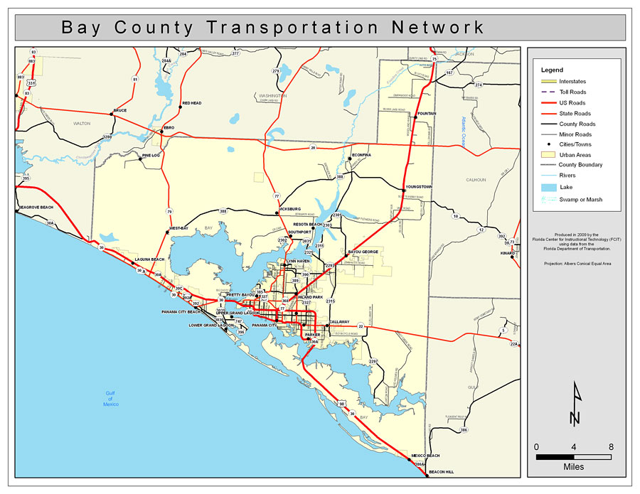
Description: This is a color road map of Bay county, 2009. It shows the location of many roads including US-98, cities and towns, and inland water.
Place Names: Bay, Bayou George, �Youngstown, �Callaway, �Panama City, �Parker, �Pinelog, �Lynn Haven, �Southport, �Gulf of Mexico, �Pretty Bayou, �Panama City Beach, �Lower Grand Lagoon, �Upper Grand Lagoon, �Hiland Park, �Resota Beach, �West Bay, �Laguna Beach, �Vicksburg, �Econfina, �Econfina Creek
ISO Topic Categories: boundaries, �transportation, �inlandWaters
Keywords: Bay County Road Network- Color, transportation, �political, �physical, �kroads, �kroadscolor, county borders, roads, boundaries, �transportation, �inlandWaters, Albers_Conical_Equal,2009
Source: Florida Center for Instructional Technology, Exploring Florida: Social Studies Resources �for Students and Teachers (Tampa, FL: University of South Florida, 2009)
Map Credit: Courtesy of the Florida Center for Instructional Technology, Author: Samer Slaiby |
|