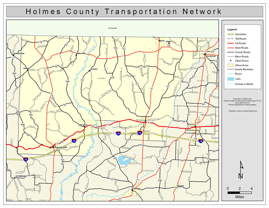
Description: This is a color road map of Holmes county, 2009. It shows the location of many roads including US-90 and I-10, cities and towns, and inland water.
Place Names: Holmes, Westville, �Noma, �Esto, �Izagora, �Ponce De Leon, �Leonia, �New Hope, �Graceville, �Choctawhatchee River, �Holmes Creek
ISO Topic Categories: boundaries, �transportation, �inlandWaters
Keywords: Holmes County Road Network- Color, transportation, �political, �physical, �kroads, �kroadscolor, county borders, roads, boundaries, �transportation, �inlandWaters, Albers_Conical_Equal,2009
Source: Florida Center for Instructional Technology, Exploring Florida: Social Studies Resources �for Students and Teachers (Tampa, FL: University of South Florida, 2009)
Map Credit: Courtesy of the Florida Center for Instructional Technology, Author: Samer Slaiby |
|