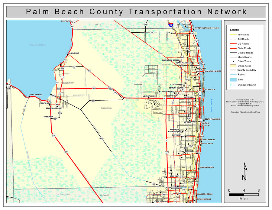
Description: This is a color road map of Palm Beach county, 2009. It shows the location of many roads including US-1 and I-95, cities and towns, and inland water.
Place Names: Palm Beach, Palm Beach, �Atlantis, �Loxahatchee, �Jupiter, �Jupiter Inlet Beach Colony, �Palm Beach Gardens, �North Palm Beach, �Lake Park, �Palm Beach Shores, �Cypress Lakes, �Century Village, �Golden Lakes, �Haverhill, �South Palm Beach, �Lantana, �Hypoluxo, �Aberdeen, �Rainbow Lakes, �Sun Valley, �High Point, �Golf, �Highland Beach, �Boca Pointe, �Boca West, �Atlantic Ocean, �Lake Okeechobee
ISO Topic Categories: boundaries, �transportation, �inlandWaters, �oceans
Keywords: Palm Beach County Road Network- Color, transportation, �political, �physical, �kroads, �kroadscolor, county borders, roads, boundaries, �transportation, �inlandWaters, �oceans, Albers_Conical_Equal,2009
Source: Florida Center for Instructional Technology, Exploring Florida: Social Studies Resources �for Students and Teachers (Tampa, FL: University of South Florida, 2009)
Map Credit: Courtesy of the Florida Center for Instructional Technology, Author: Samer Slaiby |
|