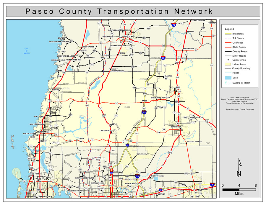
Description: This is a color road map of Pasco county, 2009. It shows the location of many roads including US-41 and I-75, cities and towns, and inland water.
Place Names: Pasco, Odessa, �Holiday, �Land O' Lakes, �New Port Richey, �Port Richey, �Elfers, �Beacon Point, �Beacon Square, �Hudson, �Zephyrhills , �San Antonio, �St. Leo, �Saint Leo, �Lumberton, �Crystal Springs, �Drexel, �Gulf of Mexico, �Blanton
ISO Topic Categories: boundaries, �transportation, �inlandWaters, �oceans
Keywords: Pasco County Road Network- Color, transportation, �political, �physical, �kroads, �kroadscolor, county borders, roads, boundaries, �transportation, �inlandWaters, �oceans, Albers_Conical_Equal,2009
Source: Florida Center for Instructional Technology, Exploring Florida: Social Studies Resources �for Students and Teachers (Tampa, FL: University of South Florida, 2009)
Map Credit: Courtesy of the Florida Center for Instructional Technology, Author: Samer Slaiby |
|