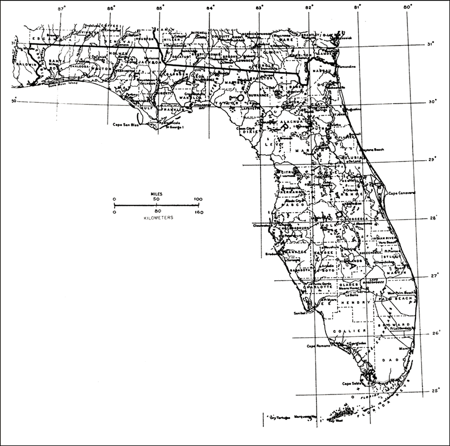
Description: This is a map showing the distribution of the Hippomane mancinella or manchineel in Florida. "S. Florida incl. Florida Keys and shores of s. Dade and s. Monroe Cos. From Bahamas through West Indies incl. P.R. and V.I. Also from s. Mexico s. on Atlantic coast to Venezuela and on Pacific coast to Revillagigedo Is. and to Ecuador incl. Galapagos Is." —Elbert L. Little, Jr. For more information, read the introduction to the Atlas of United States Trees Vol. 5 Florida.
Source: Elbert L. Little, Jr., Atlas of United States Trees Volume 5 Florida (Washington, D.C.: United States Government Printing Office, 1978)
Map Credit: United States Government Printing Office |
|