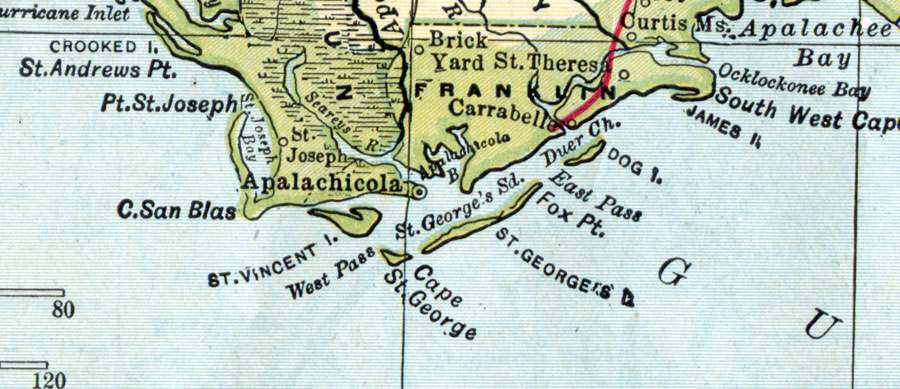
Description: A map of Franklin County showing county lines, the county seat (Apalachicola), and railroads connecting the major cities current to 1907.
Place Names: Franklin, Apalachicola, Brick Yard, Saint Teresa, Saint George Sound, Cape Saint George, Dog Island, Saint Vincent Island, Carrabelle
ISO Topic Categories: transportation, inlandWaters, boundaries, oceans
Keywords: Franklin County, physical, political, transportation, physical features, county borders, railroads, transportation, inlandWaters, boundaries, oceans, Unknown,1907
Source: , New Encyclopedia and Gazetteer (Chicago, IL: Dodd, Mead, & Co., 1907)
Map Credit: Courtesy the private collection of Roy Winkelman. |
|