|
|
|
| FL Maps > County > Franklin |
Click on a thumbnail image to view a full size version of that map.
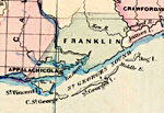
Franklin County is Florida's 17th county, established on February 8, 1832, from a segment of Escambia County. It gains its name from Benjamin Franklin, a notable American of colonial times. Apalachicola is the county seat. Of historical interest, Dr. John Gorrie of Apalachicola built the first ice-making machine in 1845.
For earlier maps of this area, visit the Escambia County map gallery.
|
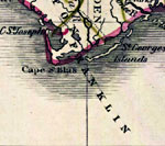
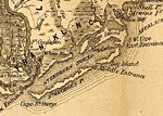
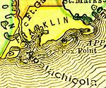
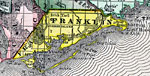
Franklin County,
1830 |
|
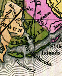
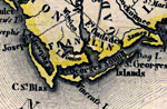
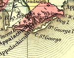
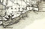
Detail - Florida,
1839 |
|
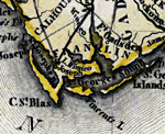
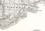
Detail - Map of the State of Florida,
1842 |
|
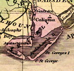
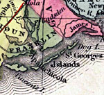
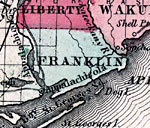
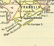
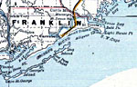
Franklin County,
1845 |
|
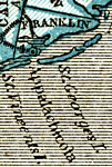
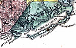
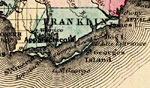
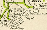
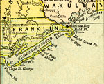
Franklin County,
1845 |
|
Franklin County,
1850 |
|
Franklin County,
1850 |
|
Franklin County,
1856 |
|
Franklin County,
1859 |
|
Franklin County,
1860 |
|
Franklin County,
1860 |
|
Franklin County,
1863 |
|
Franklin County,
1871 |
|
Franklin County,
1873 |
|
Franklin County,
1874 |
|
Franklin County,
1880 |
|
Franklin County,
1880 |
|
Franklin County,
1882 |
|
Franklin County,
1883 |
|
Franklin County,
1886 |

|
Franklin County,
1886 |
|
Franklin County,
1888 |
|
Franklin County,
1888 |
|
Franklin County,
1889 |
|
Franklin County,
1890 |
| Next | Last |
| FL Maps > County > Franklin |
Maps ETC
is a part of the
Educational Technology Clearinghouse
Produced by the
Florida Center for Instructional Technology
© 2007
College of Education
,
University of South Florida