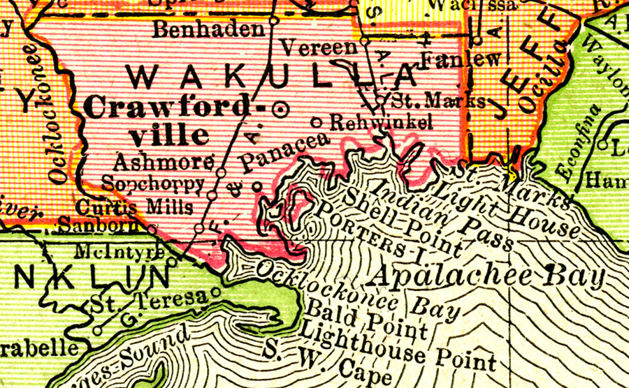
Description: A map of Wakulla County showing county lines, the county seat (Crawfordville), railroads, and cities current to 1917.
Source: , New Imperial Atlas of the World (, : Rand McNally, 1917)
Map Credit: Courtesy the private collection of Roy Winkelman. |
|