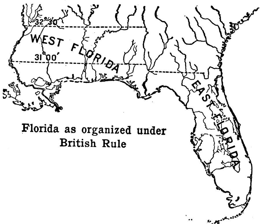
Description: Map showing the separation of West Florida and East Florida by the 31 degrees and 32 degrees and 28 minutes. British rule set up this boundary.
Place Names: 1780-1799,
ISO Topic Categories: boundaries, inlandWaters, oceans
Keywords: Florida Under British Rule, physical, political, historical, physical features, major political subdivisions, boundaries, inlandWaters, oceans, Unknown,1789
Source: Caroline Mays Brevard, A History of Florida (New York, NY: American Book Company, 1919) 84
Map Credit: Courtesy the private collection of Roy Winkelman |
|