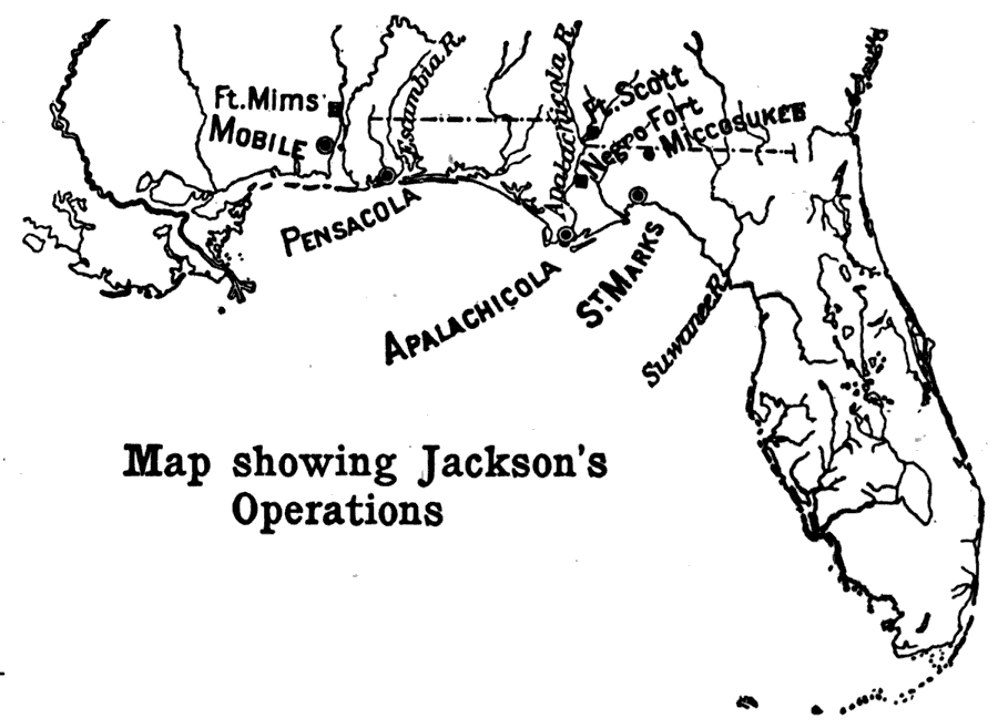
Description: Map shows the operations of Jackson during the early 1800's with in Florida territories. Shows major forts and cities that were present at this time in history.
Place Names: 1800-1819, Pensacola, Apalachicola
ISO Topic Categories: oceans, inlandWaters
Keywords: Jackson's Operations, physical, historical, physical features, oceans, inlandWaters, Unknown,1814
Source: Caroline Mays Brevard, A History of Florida (New York, NY: American Book Company, 1919) 93
Map Credit: Courtesy the private collection of Roy Winkelman |
|