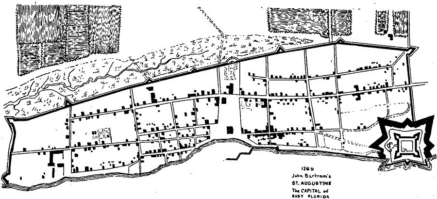
Description: Map shows the layout of St. Augustine in 1769 C.E. Shows the fort, builings, and the roads inside the city.
Place Names: 1760-1779, Saint Augustine
ISO Topic Categories: inlandWaters
Keywords: St. Augustine , transportation, physical, historical, physical features, roads, inlandWaters, Unknown,1769
Source: H. S. Wyllie, St. Augustine Under Three Flags Fourth Edition (St. Augustine, FL: Record Co. , 1898)
Map Credit: Courtesy the private collection of Roy Winkelman |
|