mapsExploring Florida
 FL Maps > Region > 1760-1779 > St. Augustine , 1769
Site Map 

St. Augustine , 1769


Puzzle Directions: Click on a puzzle piece and drag it where you want it. When you connect two pieces correctly, they will join together. Mix up the pieces again. View finished map in pop-up window.

Title: St. Augustine
Projection: Unknown
Source Bounding Coordinates:
W: E: N: S:

Back to Map Page
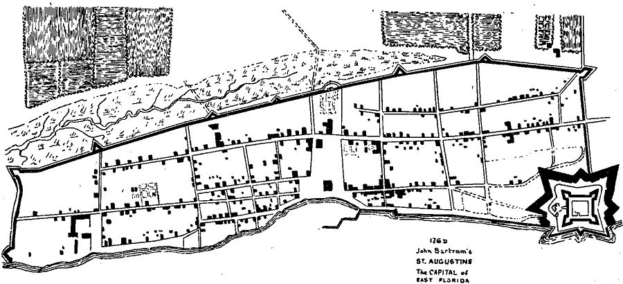
Description: Map shows the layout of St. Augustine in 1769 C.E. Shows the fort, builings, and the roads inside the city.
Source: H. S. Wyllie, St. Augustine Under Three Flags Fourth Edition (St. Augustine, FL: Record Co. , 1898)
Map Credit: Courtesy the private collection of Roy Winkelman
SearchLicensePDF HelpGIS Help Google Earth Help Zoomify Help

 FL Maps > Region > 1760-1779 > St. Augustine , 1769