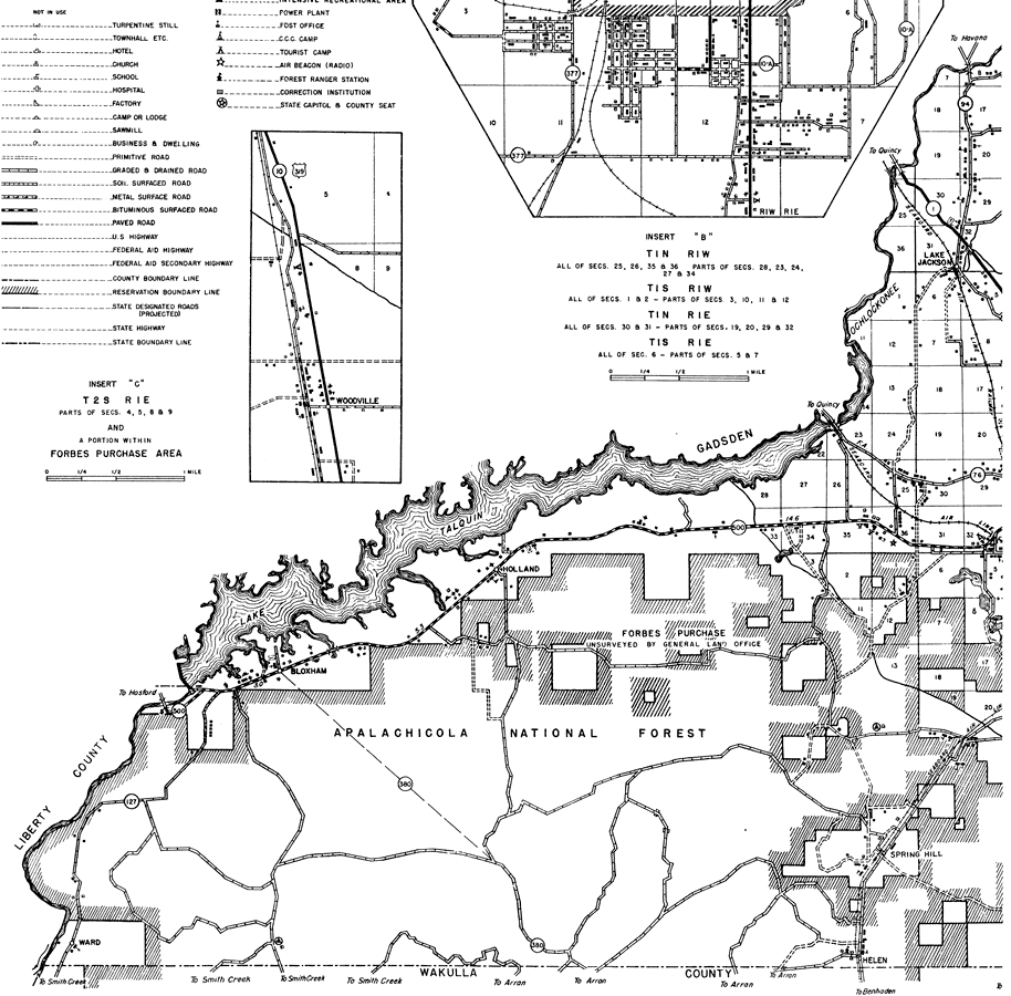
Description: This is a detailed map of the west portion of the county of Leon in the state of Florida. Section Township Range (STR) is shown. This map shows all of the main cities, state roads, railroads, schools, churches, cemeteries, camps, businesses, tenant houses, forest ranger lookout stations, post offices, farm units and dwellings other than farms. Key to Florida Highway maps.
Place Names: Leon, Lake Jackson, Ochlockonee River, Lake Talquin, Holland, Bloxham, Ward, Helen, Spring Hill, Ocklockonee
ISO Topic Categories: boundaries, location, transportation, inlandWaters
Keywords: Leon West, physical, political, transportation, physical features, major political subdivisions, local jurisdictions, roads, railroads, boundaries, location, transportation, inlandWaters, Unknown,1936
Source: , Florida State Road Department (, FL: , 1936)
Map Credit: Courtesy the private collection of Roy Winkelman. |
|