mapsExploring Florida
 FL Maps > State > 1820-1839 > Map of Florida, 1823
Site Map 

Map of Florida, 1823


Puzzle Directions: Click on a puzzle piece and drag it where you want it. When you connect two pieces correctly, they will join together. Mix up the pieces again. View finished map in pop-up window.

Title: Map of Florida
Projection: Unknown
Source Bounding Coordinates:
W: E: N: S:

Back to Map Page
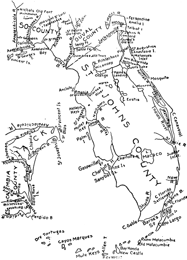
Description: Map shows the boundaries of Florida's counties, major cities, lakes and rivers.
Source: Edwin L. Green, School History of Florida (Baltimore, MA: Williams & Wilkins Company, 1902) 225
Map Credit: Courtesy the private collection of Woy Winkelman
SearchLicensePDF HelpGIS Help Google Earth Help Zoomify Help

 FL Maps > State > 1820-1839 > Map of Florida, 1823