mapsExploring Florida
 FL Maps > Local > St. Johns > St. Augustine, 1890
Site Map 

St. Augustine, 1890


Puzzle Directions: Click on a puzzle piece and drag it where you want it. When you connect two pieces correctly, they will join together. Mix up the pieces again. View finished map in pop-up window.

Title: St. Augustine
Projection: Unknown
Source Bounding Coordinates:
W: E: N: S:

Back to Map Page
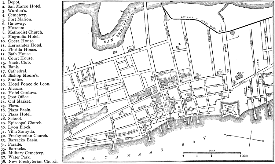
Description: A map of St. Augustine showing rivers, streets, railroads, and important landmarks. Includes Fort Marion, which is now known as the Castillo de San Marcos.
Source: Charles Ledyard Norton, A Handbook of Florida (New York, NY: Longmans, Green, & Co., 1890) 156
Map Credit: Courtesy the private collection of Roy Winkelman
SearchLicensePDF HelpGIS Help Google Earth Help Zoomify Help

 FL Maps > Local > St. Johns > St. Augustine, 1890