mapsExploring Florida
 FL Maps > State > 1880-1899 > Florida, 1890
Site Map 

Florida, 1890


Puzzle Directions: Click on a puzzle piece and drag it where you want it. When you connect two pieces correctly, they will join together. Mix up the pieces again. View finished map in pop-up window.

Title: Florida
Projection: Unknown
Source Bounding Coordinates:
W: -10.5 E: -3 N: 31 S: 24.3

Back to Map Page
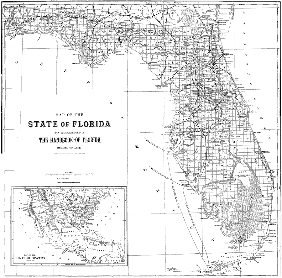
Description: A map of Florida showing counties, county seats, cities, railroads, rivers, and the Everglades. The longitude on this map goes by the Washington Meridian. Includes an inset map of the United States.
Source: Charles Ledyard Norton, A Handbook of Florida (New York, NY: Longmans, Green, & Co., 1890) 240
Map Credit: Courtesy the private collection of Roy Winkelman
SearchLicensePDF HelpGIS Help Google Earth Help Zoomify Help

 FL Maps > State > 1880-1899 > Florida, 1890